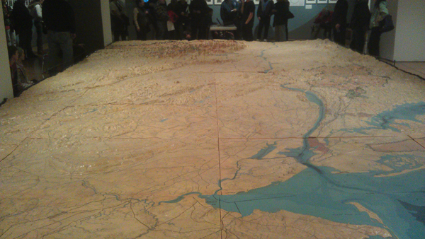
This large topographic map of the NYC watershed areas created by the DEP in 1939 is now on display at the
Queens Museum! It was originally commissioned for the 1939 Worlds Fair. But it never was displayed at the fair.
Some say the reason was because it was too big for the space allotted for it in the pavilion. However, there is another
theory. At the time the USA was about to enter World War II, so it may have been unwise to reveal the location
of the city’s water sources.
